
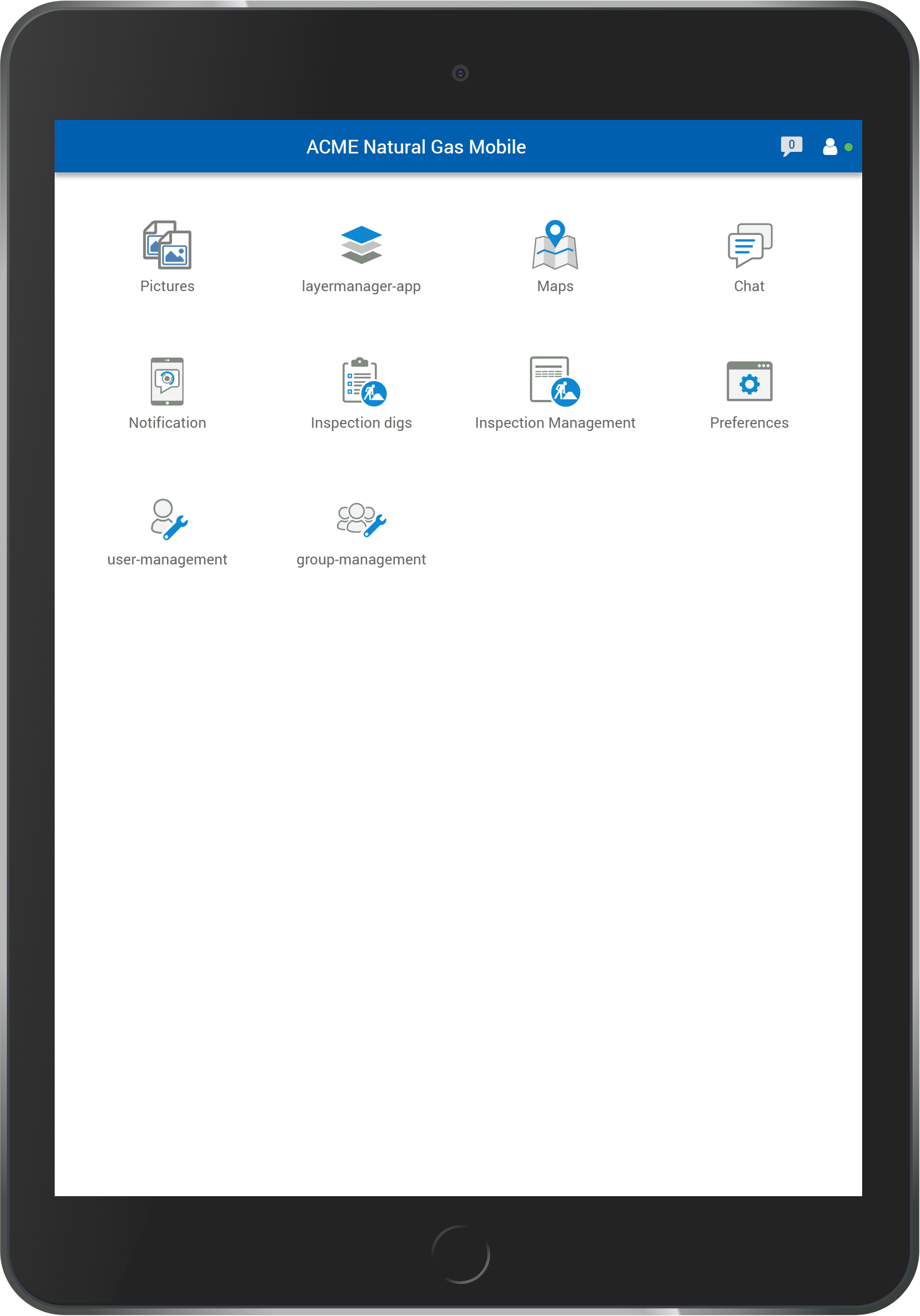
Mobile Apps
Accessing Your Data Anytime and Anywhere
We create mobile apps that work together with GEOMAGIC’s larger IT applications and software products.
Mobile apps are small, focused solutions for smartphones or tablets. These miniature programs make individual digital processes and step-by-step workflows easier to apply. Users save time and enjoy more flexibility.
GEOMAGIC offers hybrid apps or web apps, depending on your processes and requirements.
Mobile apps
Mobile apps are especially useful for field staff, who can edit digital data anytime and anywhere out where your assets are. A web app can be used with any mobile device using iOS, Android or Windows, as well as with a desktop computer, not requiring any installation on the devices.
Hybrid apps
A hybrid app, by contrast, can access dedicated hardware functionality for specialized tasks. The data from the mobile app is synchronized with other devices and connected software as soon as network connection is available.
Quick and Flexible App Creation – Your Requirements Come First
Write down as precisely as possible what your app should do. Do you want to display thematic maps, use specific search functions, document on-site tasks in a central application or archive photographs? No matter what your goals are, just pin them down and don’t worry about how to implement them – that is our job.
Describe the process steps you want to support using examples or information on the tools and input masks you currently use. We use your description to quickly create a prototype app that is then put to the acid test by taking it out into the field with your staff and using it on your data. We refine the prototype app until it works as expected and meets your requirements. You can rely on speedy implementation. We can also help with rolling out the app or host your software on our servers. Of course all software components can also be installed on your own hardware.
Construction Site Briefing App – Integrating Mobile Devices Into the GeoNAM Dig Request Workflow
This app has been written to complement the dig requests module of our software solution GeoNAM. It supports on-site briefing of construction companies. A utility company’s representative can access information on the dig request and lists of required on-site tasks to work with the construction company’s staff.
The app also supports creating a written log of the briefing that can be signed digitally by both the utility’s and the builder’s representative. The log will be archived in GeoNAM and e-mailed to the builder’s representative. This app is useful for utility companies. Naturally, the app functionality will be adapted to each customer’s specific requirements.
KEY BENEFITS
Access dig request details
Create a log of the on-site briefing based on the information stored in GeoNAM
Digital signature function
Document the briefing by archiving in GeoNAM and sending out e-mails
Quality assurance
Written as a web app
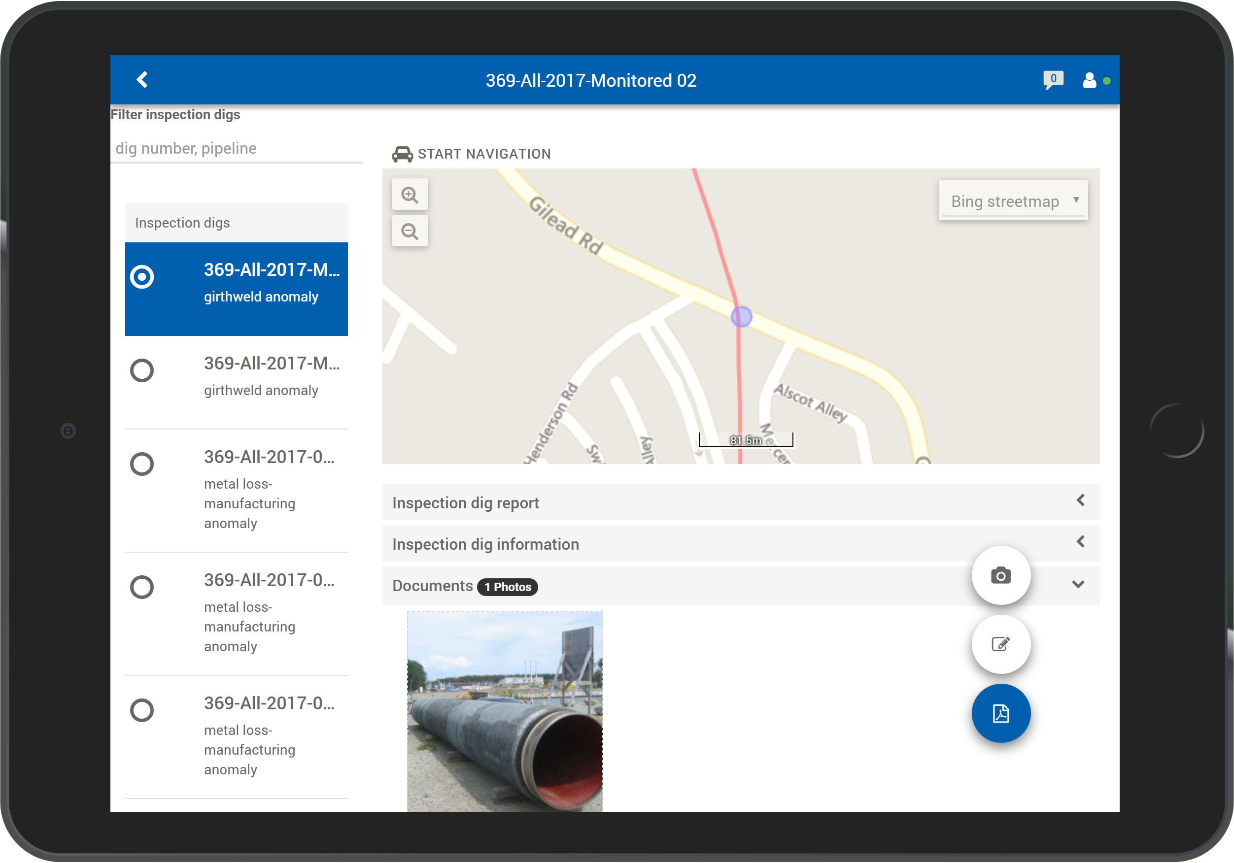
Survey App – Easy Capture of Asset Locations and Areas for Compensatory Measures
The app provides a map background of your choice and map representation of a selection of your existing network assets. This supports ground survey work for assets such as girth welds and markers, for foreign line crossings, or for areas for environmental mitigation measures. In a simple, mobile workflow, any GPS receiver can provide coordinates that are imported via Bluetooth. Data for the survey area is synchronized online using a mobile server.
KEY BENEFITS
Map representation of existing network assets
Works with any GPS receiver independent of manufacturer
Asset search function
Does not require heavy field computing equipment
Online synchronization using mobile server
Hybrid App platform